From Rab, Mountain Equipment, Patagonia and more
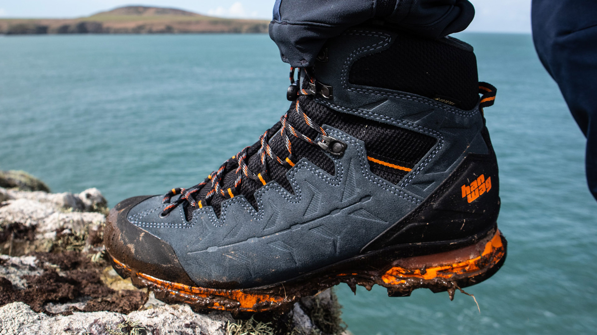
Will Renwick gives his verdict on these tough trekking boots from Bavarian bootmakers, Hanwag
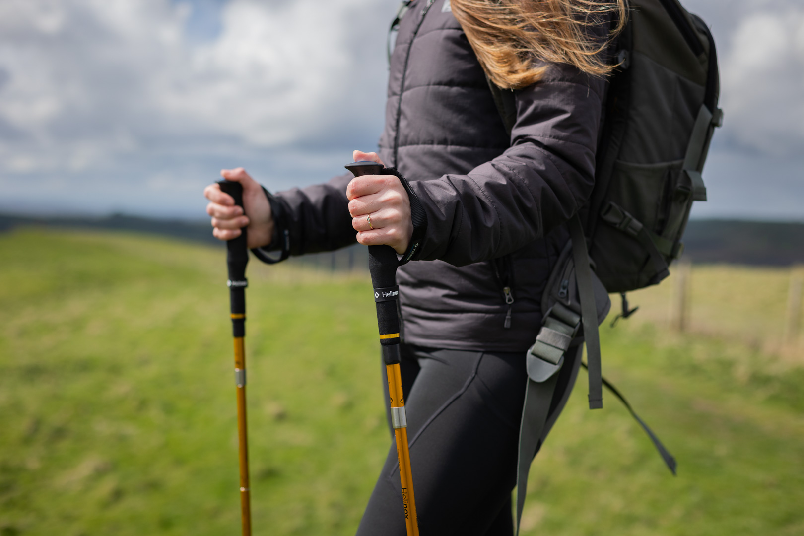
Our testers have been impressed by this pair of lightweight, durable poles
And why a good pair can make your days out a whole lot easier...

The versatility offered by the finest adventure sandals is unmatched
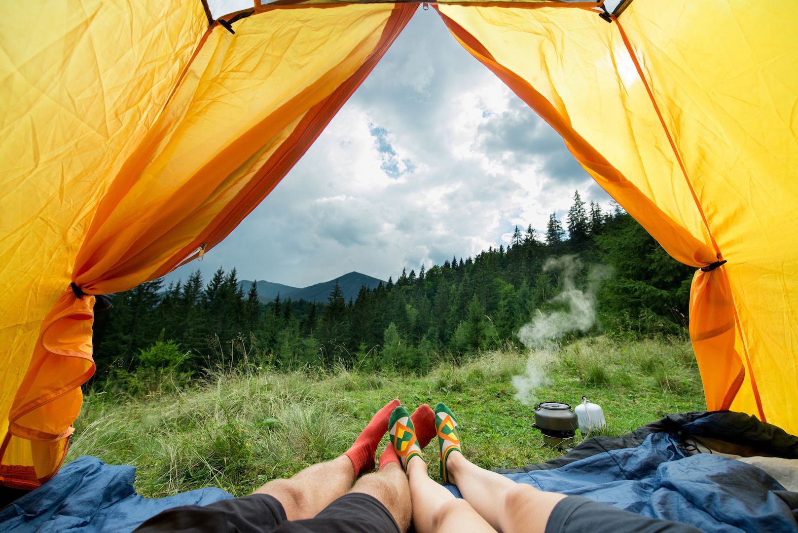
Camping (and VanLife) options for those who travel in twos
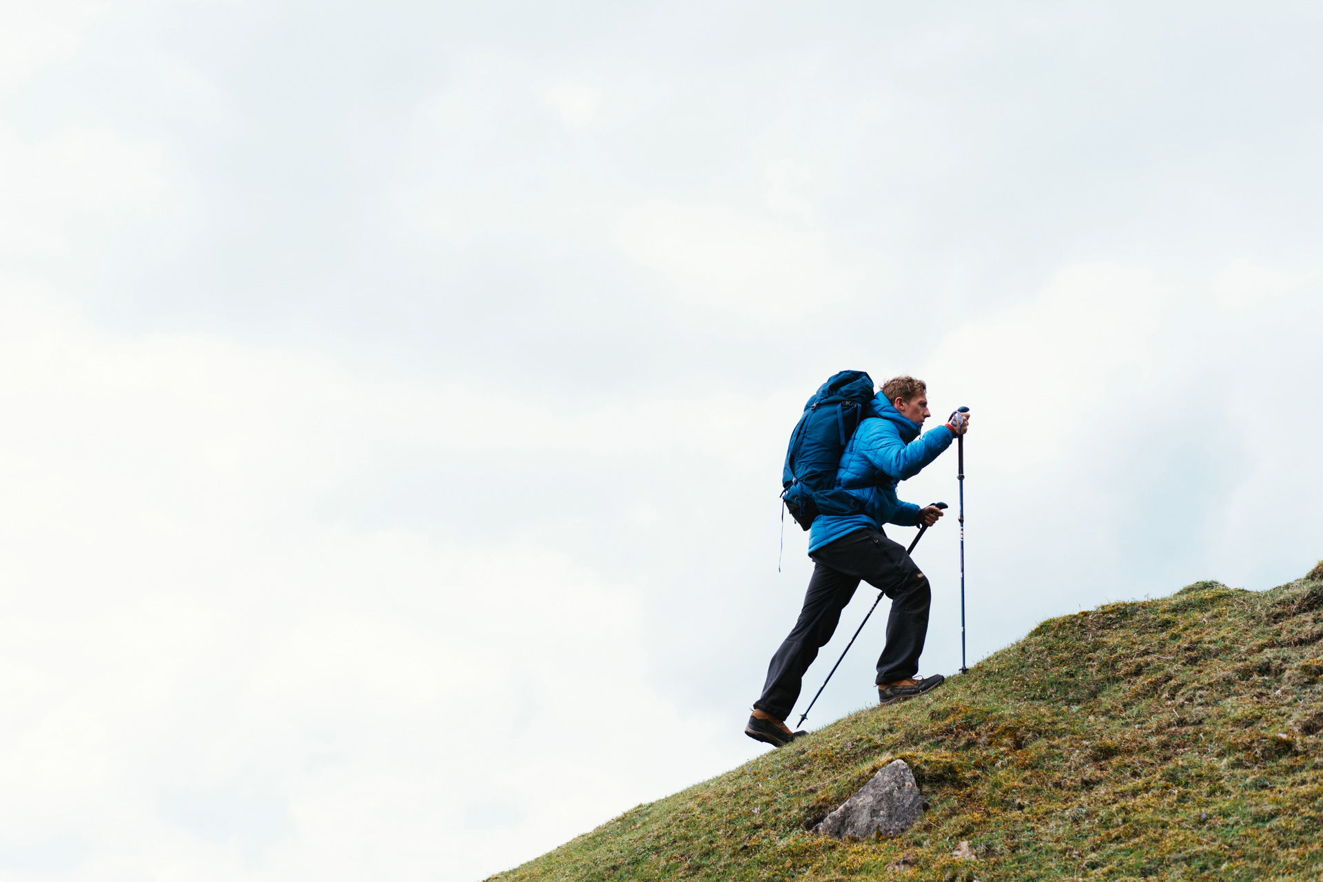
Our favourite options that are lightweight and sturdy enough for backpacking from spring through to autumn.
A great pair of socks that will last the distance means more comfortable walking on the trail. Here's our pick of the best hiking socks...


Free from the obligations of any sponsors, Paris has provided runners with a helpful insight into the kit list that an elite runner chooses to...
Quick-drying, grippy and stable. This is a pair of Birkenstocks we can get behind
The new boutique brands worth knowing about and some old classics that might not have made it onto your radar yet